Find Your Location
Search over 6 million locations for accurate weather forecasts, air quality data, and more.

Germany
Germany lies in Central Europe, stretching from the North Sea and Baltic Sea to the Alps in the south. Its landscape moves from the flat northern plains through wooded hills and river valleys to the Bavarian Alps, with the Black Forest in the southwest. The Rhine, Danube, and Elbe cross different parts of the country, while Lake Constance sits along its southern border.
France
France stretches across Western Europe from the Atlantic Ocean and English Channel to the Mediterranean Sea, with Corsica lying off its southeastern coast. The Alps and Pyrenees rise along its eastern and southern edges, while the Massif Central covers much of the interior. Major rivers including the Loire, Rhône, Seine, and Garonne cross broad plains, valleys, and regions of rolling countryside.

United Kingdom
The United Kingdom lies off the northwestern coast of mainland Europe, across Great Britain, the northeast of Ireland, and many smaller islands. Mountains and glacial valleys shape much of Scotland, Wales, and Northern Ireland, while lower hills and plains extend across large parts of England. Its landscapes include the Scottish Highlands, the Lake District, the chalk cliffs of southern England, and a long, irregular coastline facing the Atlantic and North Sea.

Italy
Italy stretches from the Alps into the Mediterranean, with most of the country forming a long peninsula shaped like a boot. The Apennines run down its centre, and Sicily and Sardinia are its two largest islands. Much of its history remains visible in Roman ruins, medieval towns, and cities shaped by the Renaissance. Food, architecture, and even local speech can change significantly from one region to the next.
Spain
Spain occupies most of the Iberian Peninsula in southwestern Europe, with coastlines on the Atlantic Ocean, Bay of Biscay, and Mediterranean Sea. The Pyrenees rise along the northeastern border, while the broad Meseta Central covers much of the interior and major rivers such as the Ebro and Tagus cross the country. Its territory also includes the Balearic Islands in the Mediterranean and the volcanic Canary Islands in the Atlantic.
Poland
Poland lies in Central Europe, with a Baltic coast in the north and the Carpathian and Sudetes mountain ranges along its southern edge. Broad plains cover much of the country, crossed by the Vistula and Oder rivers, while lake districts shape the north. The Tatra Mountains rise along the Slovak border, and Białowieża Forest preserves one of Europe’s last large areas of primeval lowland woodland.
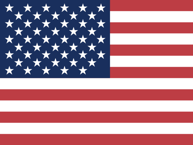
United States
The United States stretches across North America from the Atlantic to the Pacific, with Alaska in the far northwest and Hawaii in the central Pacific. The Rocky Mountains cross the west, the Great Plains cover much of the centre, and the Mississippi River system runs through the interior. Its landscapes range from the Great Lakes and the deserts of the southwest to Alaska’s Arctic tundra and Hawaii’s volcanic islands.
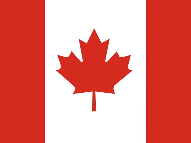
Canada
Canada stretches across northern North America from the Atlantic to the Pacific and reaches north into the Arctic Archipelago. The Canadian Rockies rise in the west, while vast boreal forests, prairies, and lakes cover much of the interior. Its landscapes include the Great Lakes and St. Lawrence River in the southeast, the shores of Hudson Bay, the rugged coasts of Newfoundland and Labrador, and tundra across the far north.
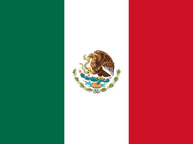
Mexico
Mexico stretches across southern North America, between the Pacific Ocean, Gulf of Mexico, and Caribbean Sea, with the Baja California Peninsula extending along its northwest coast. The Sierra Madre ranges frame a high central plateau, while a volcanic belt crosses the country from west to east. Its landscapes include the Sonoran and Chihuahuan deserts, tropical forests in the south, and the limestone plains and cenotes of the Yucatán Peninsula.
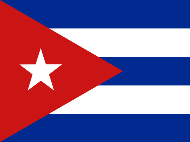
Cuba
Cuba lies where the Caribbean Sea meets the Gulf of Mexico and the Atlantic Ocean, and is the largest island in the Caribbean. The archipelago also includes the Isle of Youth and many smaller islands and cays. Its landscape ranges from the Sierra Maestra mountains in the east and broad central plains to limestone hills, the Zapata wetlands, and long stretches of coastline.
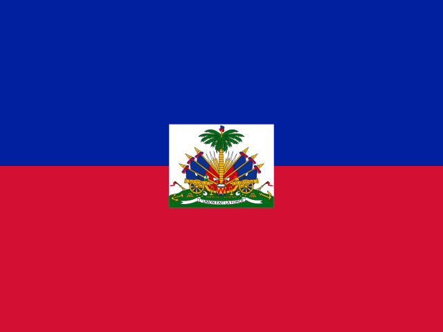
Haiti
Haiti occupies the western third of Hispaniola in the Caribbean and includes several smaller islands, among them Gonâve and Tortuga. Mountain ranges cover much of the country, broken up by narrow coastal plains and the Artibonite Valley. Its landscape also includes Lake Azuéi, the Artibonite River, and a deeply indented coastline around the Gulf of Gonâve.
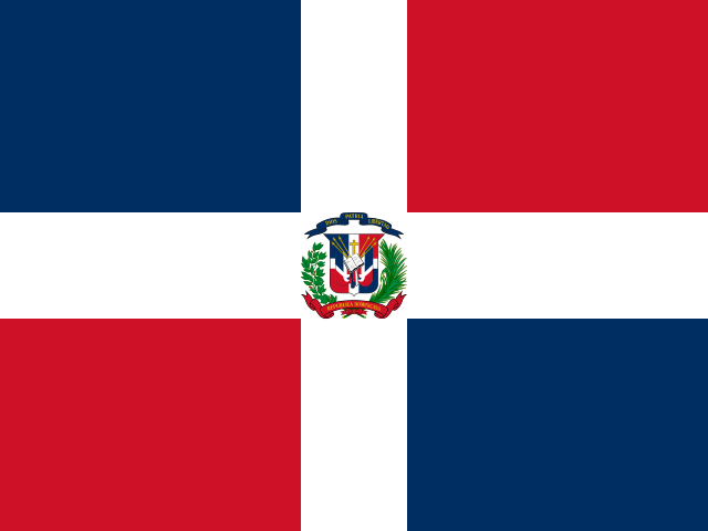
Dominican Republic
The Dominican Republic occupies the eastern part of Hispaniola, between the Atlantic Ocean and Caribbean Sea. The Cordillera Central crosses its interior and includes Pico Duarte, the highest mountain in the Caribbean, while the broad Cibao Valley lies to the north. Its landscapes also include long beaches, tropical forests, dry southwestern valleys, and Lake Enriquillo below sea level.
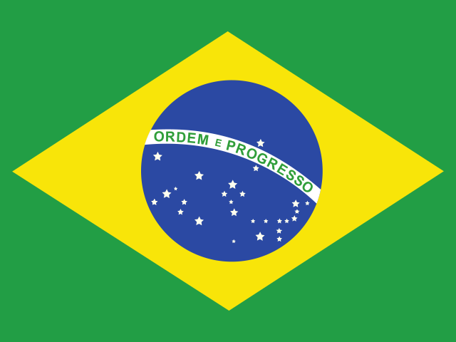
Brazil
Brazil covers much of eastern and central South America, with a long Atlantic coast and a territory reaching deep into the continent. The Amazon Basin spreads across the north, where the Amazon River and its tributaries flow through the world’s largest tropical rainforest. Farther south, the Brazilian Highlands, Pantanal wetlands, Iguaçu Falls, and mountain ranges along the Atlantic coast create a wide variety of landscapes.
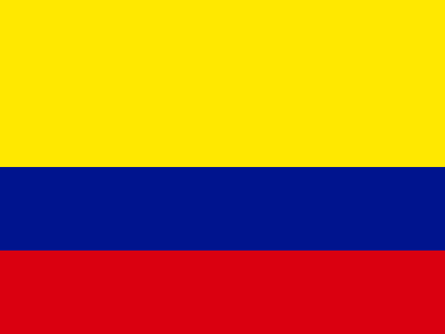
Colombia
Colombia lies in northwestern South America, with coastlines on both the Caribbean Sea and Pacific Ocean. The Andes divide into three mountain ranges as they cross the west, separated by the valleys of the Magdalena and Cauca rivers. Beyond the mountains, the land opens into the Llanos grasslands and the Amazon rainforest, while the Sierra Nevada de Santa Marta rises close to the Caribbean coast.
Argentina
Argentina stretches along southern South America, from the subtropical north to Tierra del Fuego at the continent’s southern tip. The Andes form its western edge, while the Pampas spread across the centre and the windswept plains and plateaus of Patagonia cover much of the south. Its landscapes also include Iguazú Falls, vast wetlands, glaciers, and a long Atlantic coastline.
Peru
Peru lies on the Pacific coast of western South America, where a narrow coastal plain rises into the Andes. East of the mountains, rivers descend into the Amazon Basin, which covers much of the country with tropical rainforest. Its landscapes include the high Altiplano, Lake Titicaca, deep valleys such as Colca Canyon, and peaks rising above 6,000 metres.
Venezuela
Venezuela lies on the northern coast of South America, facing the Caribbean Sea. The Andes rise in the west, while the Orinoco River crosses broad tropical plains before reaching a vast delta on the Atlantic coast. Farther south, the Guiana Highlands contain flat-topped tepuis, dense rainforest, and Angel Falls, which drops from the edge of Auyán-tepui.
Chile
Chile forms a long, narrow strip along the Pacific coast of South America, with the Andes rising to the east. Its landscapes stretch from the Atacama Desert in the north through central valleys to the forests, fjords, and ice fields of Patagonia. The country also includes many Pacific islands, among them Rapa Nui, and has an exceptionally long coastline shaped by bays, channels, and archipelagos.
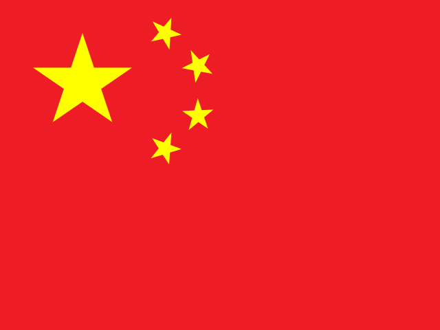
China
China stretches across East Asia from the Pacific coast to high plateaus and mountain ranges in the west. The Himalayas rise along its southwestern edge, while the Gobi and Taklamakan deserts occupy parts of the north and northwest. The Yangtze and Yellow rivers cross broad plains and basins, and the country’s landscapes also include karst hills, subtropical forests, grasslands, and a long eastern coastline.
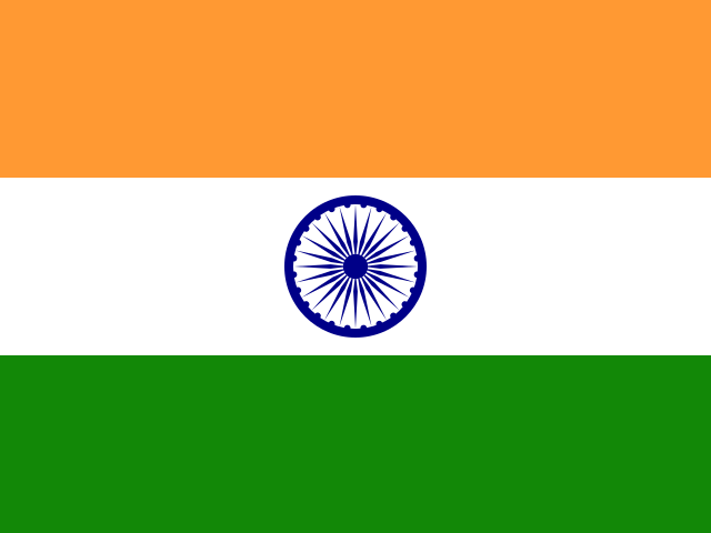
India
India stretches across South Asia, from the Himalayas in the north to a broad peninsula between the Arabian Sea and the Bay of Bengal. The Ganges and Brahmaputra plains spread below the mountains, while the Thar Desert lies to the west and the Deccan Plateau covers much of the southern interior. Its landscapes also include the Western Ghats, tropical forests, long coastlines, and island groups off both sides of the peninsula.
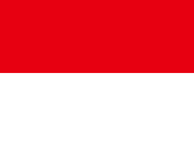
Indonesia
Indonesia stretches across the equator between the Indian and Pacific oceans, forming an archipelago of thousands of islands. Its largest islands and island regions include Sumatra, Java, much of Borneo, Sulawesi, and the western half of New Guinea. Volcanic mountain ranges rise across many of the islands, while tropical rainforests, coral seas, and long coastlines shape landscapes from Java’s volcanoes to the forests of Sumatra and New Guinea.
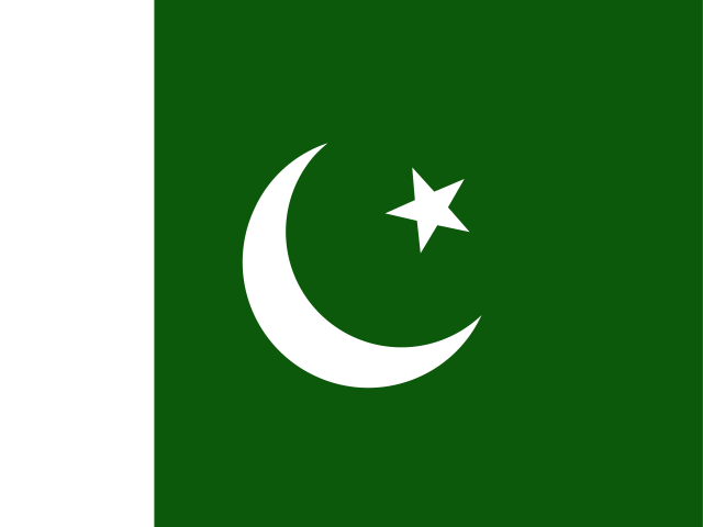
Pakistan
Pakistan stretches from the Arabian Sea across the Indus River plain to the high mountains of the north. The Karakoram, Himalaya, and Hindu Kush meet there, and the Karakoram contains K2, the world’s second-highest mountain. Farther south, the landscape includes the Balochistan Plateau, the Thar Desert, fertile plains along the Indus, and a coastline of beaches, bays, and rocky headlands.
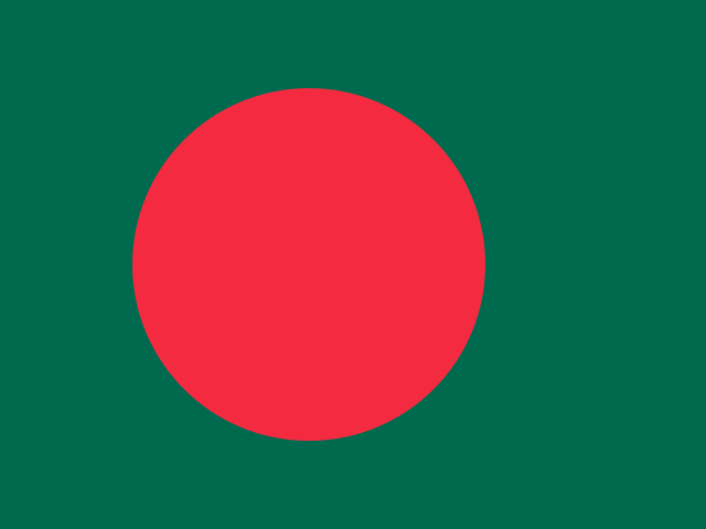
Bangladesh
Bangladesh lies across the vast Ganges-Brahmaputra-Meghna delta, where rivers and smaller waterways cross broad, low-lying plains. The Bay of Bengal shapes its southern coast, including the mangrove forests and tidal channels of the Sundarbans. In the southeast, the hills around Chattogram rise above the plains, adding wooded slopes, valleys, and lakes to a landscape otherwise defined mainly by water and fertile delta land.
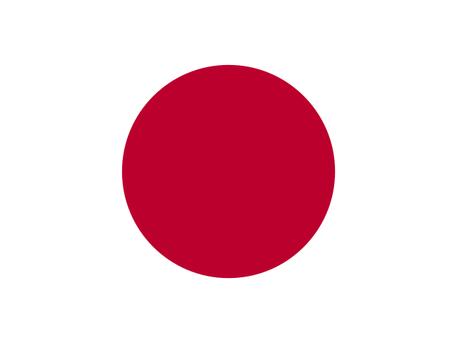
Japan
Japan is an island country in East Asia, extending in a long arc along the Pacific coast of the continent. Its four main islands—Honshu, Hokkaido, Kyushu, and Shikoku—are joined by thousands of smaller islands, with mountains covering much of the land. Mount Fuji rises west of Tokyo, while forests, volcanic lakes, and deeply indented coastlines shape the landscape from the cool north to the subtropical south.
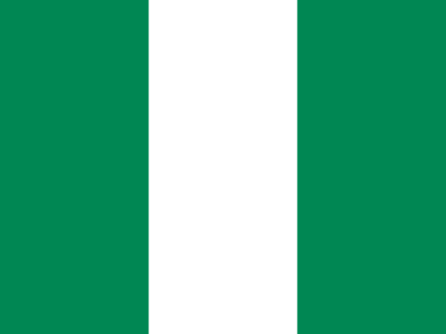
Nigeria
Nigeria lies in West Africa, with a southern coastline on the Gulf of Guinea. The Niger and Benue rivers meet near the centre of the country before flowing through the broad wetlands and creeks of the Niger Delta. Its landscapes range from mangrove forests and tropical lowlands in the south to the Jos Plateau, wide savannas, and the drier plains around Lake Chad in the northeast.
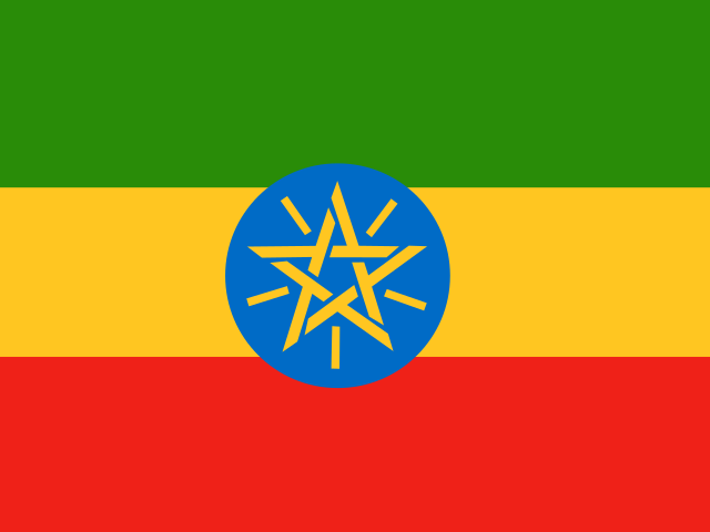
Ethiopia
Ethiopia lies in the Horn of Africa, where the Ethiopian Highlands cover much of the centre and north of the country. The Great Rift Valley cuts through its interior, separating broad plateaus and mountain ranges, while Lake Tana feeds the Blue Nile in the northwest. Its landscapes also include the Simien and Bale mountains, the lakes of the Rift Valley, and the low-lying Danakil Depression.
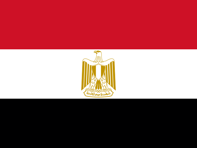
Egypt
Egypt lies in northeastern Africa, where the Nile flows north through the desert before spreading into a broad delta on the Mediterranean coast. Most of the country is covered by the Sahara, while the Sinai Peninsula connects Africa and Asia between the gulfs of Suez and Aqaba. The pyramids of Giza stand near the Nile Valley, and coral reefs line parts of the Red Sea coast.
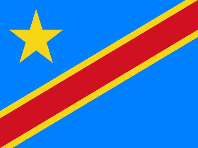
Democratic Republic of the Congo
The Democratic Republic of the Congo lies in Central Africa, with much of the country spread across the broad Congo Basin. The Congo River and its many tributaries wind through an immense belt of tropical rainforest, while savannas open out farther south. In the east, the land rises towards the Virunga Mountains and a chain of deep lakes, creating a landscape very different from the low-lying centre.
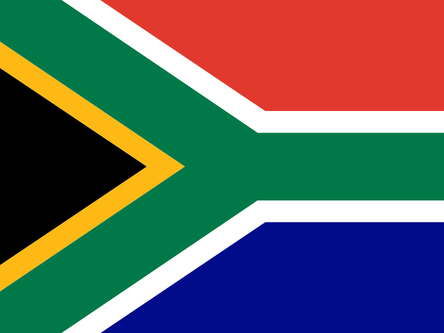
South Africa
South Africa occupies the southern end of the African continent, with a long coastline meeting both the Atlantic and Indian Oceans. Much of the interior lies on a high plateau, bordered in the east by the Great Escarpment and the Drakensberg mountains. Its landscapes include the dry Kalahari, the grasslands of the Highveld, the Cape's rugged mountains, and the distinctive flat summit of Table Mountain.
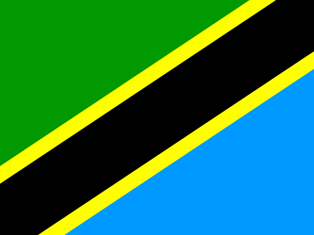
Tanzania
Tanzania lies in East Africa, with a long Indian Ocean coastline and the islands of Zanzibar just offshore. Mount Kilimanjaro rises in the northeast, while the Serengeti’s open plains stretch across the north and branches of the East African Rift shape the interior. The country also borders three of Africa’s largest lakes: Victoria, Tanganyika, and Nyasa.
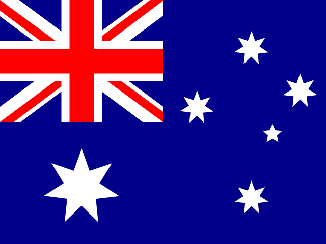
Australia
Australia lies between the Indian and Pacific oceans, with a broad coastline surrounding a vast, dry interior known as the Outback. The Great Dividing Range follows much of the east, while the centre contains red deserts, salt lakes, and the sandstone formation of Uluru. Offshore, the Great Barrier Reef extends along Queensland, and Tasmania lies across Bass Strait to the south.
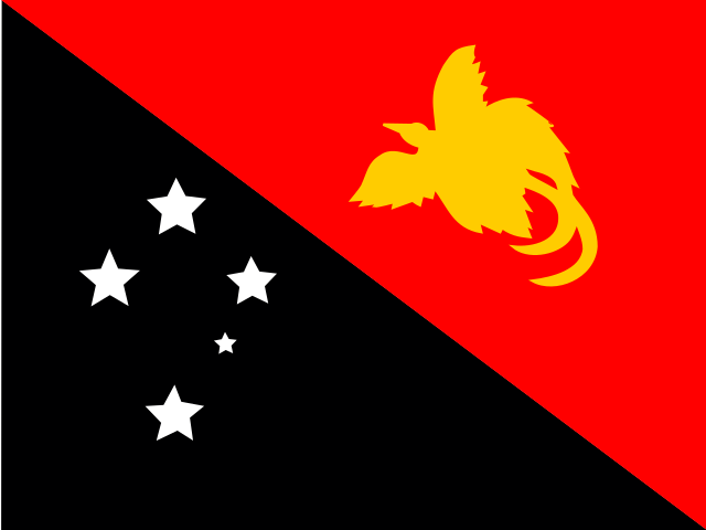
Papua New Guinea
Papua New Guinea lies in the southwestern Pacific, covering the eastern half of New Guinea and hundreds of surrounding islands. A chain of rugged mountains and highland valleys runs through the mainland, while dense tropical rainforest covers much of the lower ground. The Sepik and Fly rivers cross broad wetlands, and volcanic islands, coral reefs, and sheltered bays shape the coast.
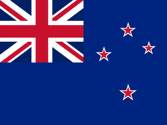
New Zealand
New Zealand lies in the South Pacific and consists mainly of the North Island and South Island, alongside many smaller islands. The Southern Alps run along much of the South Island, while the North Island contains volcanic plateaus, geothermal areas, and rolling hills. Its landscapes also include fiords, glaciers, long beaches, deep lakes, and coastal ranges shaped by the meeting of the Pacific and Australian tectonic plates.
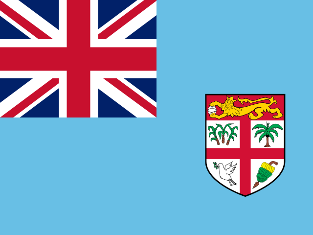
Fiji
Fiji is an archipelago of more than 300 islands in the South Pacific, with most of its land found on Viti Levu and Vanua Levu. Both main islands have mountainous interiors, river valleys, and coastal plains, while smaller islands are scattered across the surrounding sea. Coral reefs, lagoons, mangroves, and sandy coastlines shape much of the landscape around the islands.
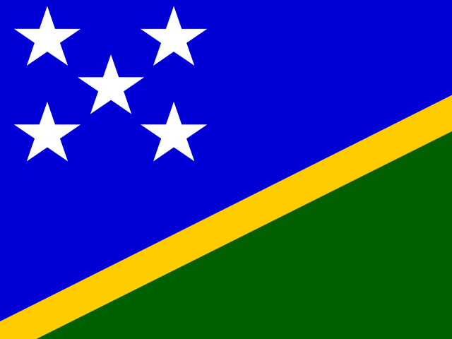
Solomon Islands
The Solomon Islands form a long chain of islands in the southwestern Pacific, east of Papua New Guinea. Most of the larger islands are mountainous and volcanic, with rainforest-covered ridges, narrow valleys, and coastlines edged by coral reefs. Smaller islands include low coral atolls, while Guadalcanal is home to Mount Popomanaseu, the country’s highest point.

Vanuatu
Vanuatu is an island country in the South Pacific, made up of a long chain of volcanic islands between Australia and Fiji. Its landscape includes forested mountains, active volcanoes, coral reefs, and beaches shaped by the surrounding ocean. Espiritu Santo is the largest island, while Mount Tabwemasana is the country’s highest point and Mount Yasur on Tanna is one of its best-known natural landmarks.