Nigeria
Nigeria lies in West Africa, with a southern coastline on the Gulf of Guinea. The Niger and Benue rivers meet near the centre of the country before flowing through the broad wetlands and creeks of the Niger Delta. Its landscapes range from mangrove forests and tropical lowlands in the south to the Jos Plateau, wide savannas, and the drier plains around Lake Chad in the northeast.
Ethiopia
Ethiopia lies in the Horn of Africa, where the Ethiopian Highlands cover much of the centre and north of the country. The Great Rift Valley cuts through its interior, separating broad plateaus and mountain ranges, while Lake Tana feeds the Blue Nile in the northwest. Its landscapes also include the Simien and Bale mountains, the lakes of the Rift Valley, and the low-lying Danakil Depression.
Egypt
Egypt lies in northeastern Africa, where the Nile flows north through the desert before spreading into a broad delta on the Mediterranean coast. Most of the country is covered by the Sahara, while the Sinai Peninsula connects Africa and Asia between the gulfs of Suez and Aqaba. The pyramids of Giza stand near the Nile Valley, and coral reefs line parts of the Red Sea coast.
Democratic Republic of the Congo
The Democratic Republic of the Congo lies in Central Africa, with much of the country spread across the broad Congo Basin. The Congo River and its many tributaries wind through an immense belt of tropical rainforest, while savannas open out farther south. In the east, the land rises towards the Virunga Mountains and a chain of deep lakes, creating a landscape very different from the low-lying centre.
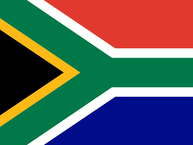
South Africa
South Africa occupies the southern end of the African continent, with a long coastline meeting both the Atlantic and Indian Oceans. Much of the interior lies on a high plateau, bordered in the east by the Great Escarpment and the Drakensberg mountains. Its landscapes include the dry Kalahari, the grasslands of the Highveld, the Cape's rugged mountains, and the distinctive flat summit of Table Mountain.
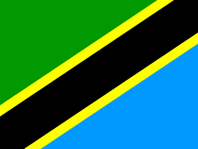
Tanzania
Tanzania lies in East Africa, with a long Indian Ocean coastline and the islands of Zanzibar just offshore. Mount Kilimanjaro rises in the northeast, while the Serengeti’s open plains stretch across the north and branches of the East African Rift shape the interior. The country also borders three of Africa’s largest lakes: Victoria, Tanganyika, and Nyasa.
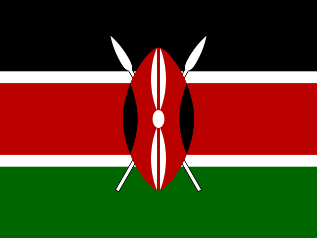
Kenya
Kenya lies in East Africa, with an Indian Ocean coastline in the southeast and the shores of Lake Victoria in the west. The Great Rift Valley crosses the country between highlands, escarpments, and a chain of lakes, while Mount Kenya rises near its centre. Its landscapes also include the broad savannas of the south, forested uplands, and the drier plains of the north.
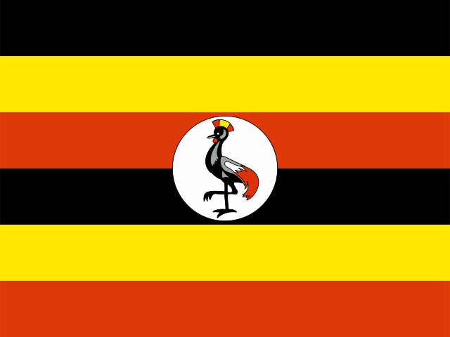
Uganda
Uganda is a landlocked country in East Africa, lying between the Great Lakes region and the upper Nile basin. Lake Victoria borders the south, while Lakes Albert and Edward line parts of the western edge and the Nile flows north through the country. Its landscapes include the Rwenzori Mountains, volcanic highlands, broad savannas, tropical forests, and extensive wetlands around Lake Kyoga.
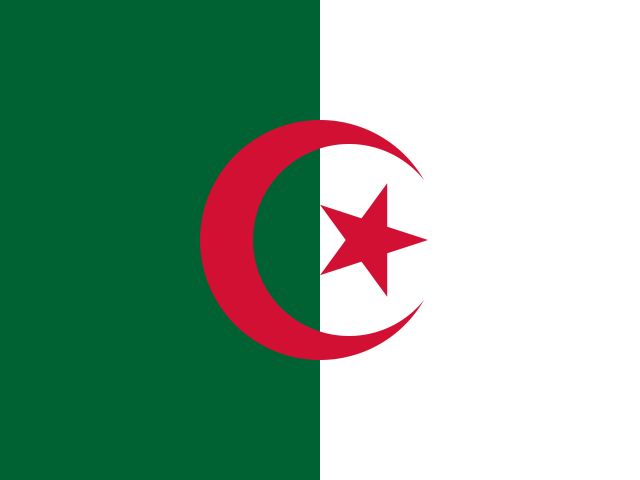
Algeria
Algeria stretches from the Mediterranean coast across the Atlas Mountains and high plateaus into the Sahara. Much of the country is desert, with broad sand seas, rocky plains, and the Ahaggar Mountains rising in the far south. In the southeast, sandstone formations shape Tassili n’Ajjer, while seasonal salt lakes and wadis appear across the drier interior.
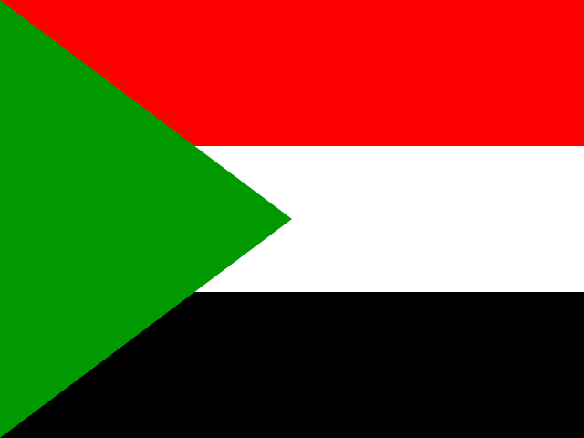
Sudan
Sudan stretches across northeastern Africa, with the Nile running north through broad plains and desert landscapes. The Blue and White Nile meet at Khartoum, while the Nubian Desert covers much of the north and the Red Sea lines the eastern coast. Farther west, the Marrah Mountains rise above the surrounding plateau, with cooler conditions and more rugged terrain.
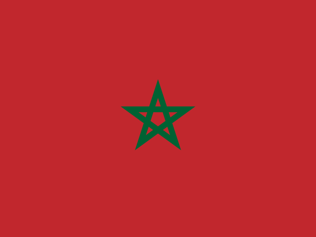
Morocco
Morocco lies in northwestern Africa, with coastlines on the Atlantic Ocean and Mediterranean Sea. The Rif Mountains rise in the north, while the Atlas ranges cross the country's interior and separate fertile coastal plains from drier landscapes farther inland. Its terrain also includes cedar forests, high mountain valleys, rocky plateaus, and stretches of desert in the southeast.
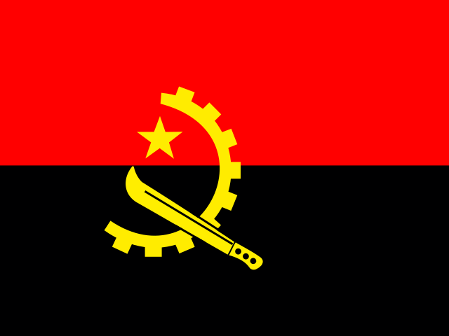
Angola
Angola lies on the Atlantic coast of southwestern Africa, where a narrow coastal plain rises inland to broad central highlands. Its landscapes range from the dry Namib Desert in the south to tropical forests and grasslands farther north, with the Cuanza River flowing west towards the ocean. The Tundavala Gap cuts through cliffs near Lubango, while Kalandula Falls span a wide section of the Lucala River.
Ghana
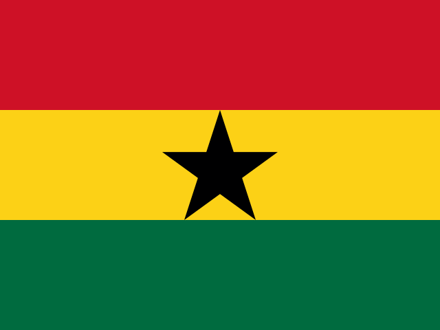
Ghana lies on the Gulf of Guinea in West Africa, with a coastline of sandy beaches, lagoons, and low plains. Forested hills and river valleys shape much of the south, while the landscape opens into broad savannah farther north. Lake Volta stretches across a large part of the country, fed by the Black Volta, White Volta, and other rivers.
Mozambique
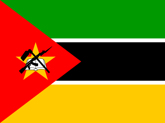
Mozambique stretches along the Indian Ocean in southeastern Africa, with a long coastline facing the Mozambique Channel. Broad coastal plains rise towards plateaus and mountains inland, while the Zambezi crosses the centre of the country on its way to the sea. Offshore, the Bazaruto and Quirimbas archipelagos include coral reefs, sandy islands, and lagoons, while the northwestern highlands reach the shores of Lake Malawi.
Madagascar
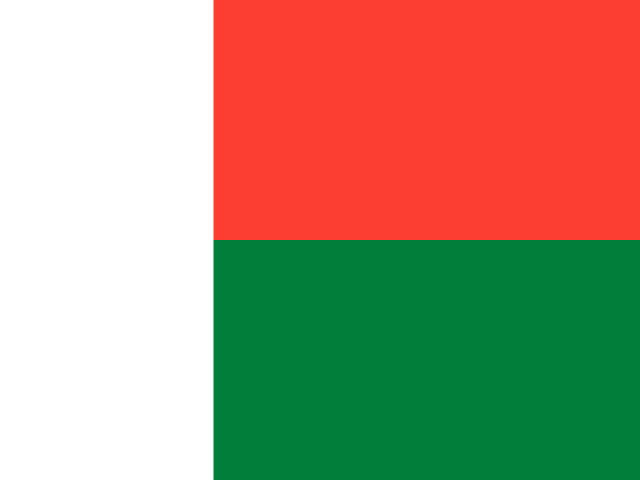
Madagascar lies in the Indian Ocean off the southeastern coast of Africa and is the world’s fourth-largest island. A mountainous central plateau gives way to eastern rainforests, western dry forests, and long stretches of coastline. Its isolated landscapes support wildlife found nowhere else, while the limestone pinnacles of Tsingy de Bemaraha and the baobab-lined plains of the west are among its best-known natural landmarks.
Cameroon
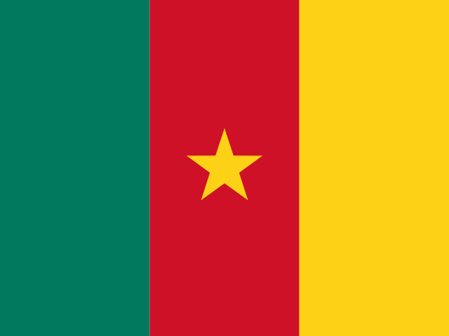
Cameroon lies in Central Africa, where the Gulf of Guinea coast rises through rainforest and highlands toward the Lake Chad basin in the north. Volcanic Mount Cameroon stands near the coast as the country’s highest point, while the Sanaga River crosses much of the interior. Landscapes range from mangroves and dense southern forests to open grasslands and the drier savanna of Waza National Park.

Ivory Coast
Ivory Coast lies in West Africa, with a coastline of sandy beaches, lagoons, and wetlands along the Gulf of Guinea. Tropical forests cover much of the south, while the land becomes drier and opens into broad savannas toward the north. The Bandama and Comoé rivers cross the country, and the western highlands rise to Mount Nimba, its highest point.
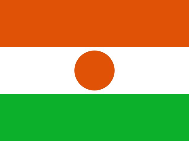
Niger
Niger lies in West Africa, with the Sahara covering much of its northern territory and the Sahel stretching across the south. The Aïr Mountains rise above the surrounding desert, while the Ténéré forms a broad expanse of dunes and rocky plains. In the southwest, the Niger River curves through a greener landscape of wetlands and seasonal grasslands.
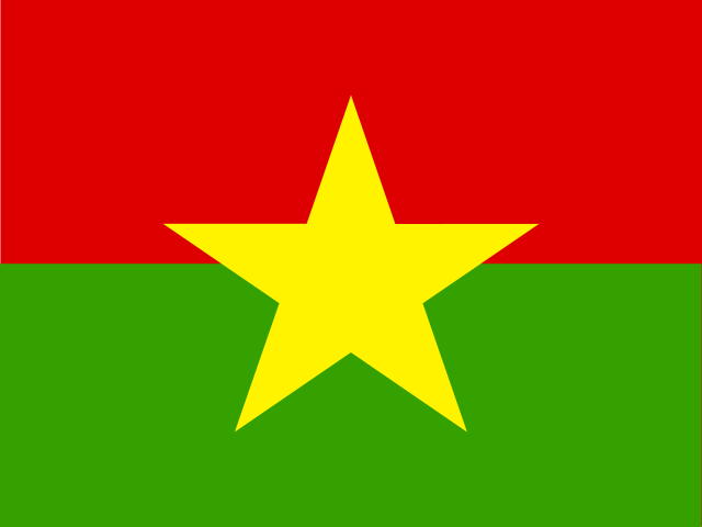
Burkina Faso
Burkina Faso is a landlocked country in West Africa, where much of the terrain forms a broad, gently rolling plateau. The drier Sahel stretches across the north, while wooded savanna and greener valleys become more common farther south. Rivers including the Black Volta, White Volta, and Red Volta flow through parts of the country, and the sandstone cliffs and waterfalls around Banfora shape its more rugged southwest.
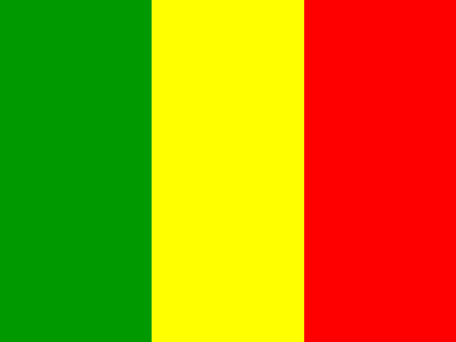
Mali
Mali is a landlocked country in West Africa, with landscapes that shift from the Sahara in the north through the Sahel to greener savannas in the south. The Niger River curves across the country and spreads into the broad wetlands of the Inner Niger Delta. Sand dunes, rocky plateaus, and the Adrar des Ifoghas mountains shape much of the north, while open grasslands cover the southern regions.
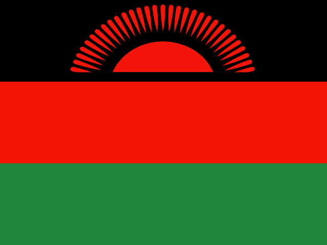
Malawi
Malawi is a long, narrow country in southeastern Africa, shaped by the Great Rift Valley and the waters of Lake Malawi. The lake fills much of its eastern side and drains south through the Shire River, while plateaus and highlands rise across the interior. Its landscapes range from the broad Nyika Plateau in the north to the steep peaks of Mount Mulanje in the south.
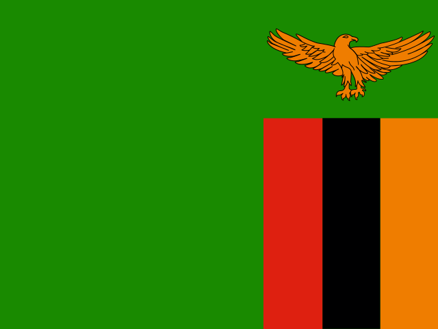
Zambia
Zambia is a landlocked country in southern Africa, set largely on a broad plateau broken by river valleys and escarpments. The Zambezi River and its tributaries shape much of the landscape, including Victoria Falls and the wide wetlands of the Kafue Flats. Miombo woodlands cover large areas, while Lake Bangweulu, its surrounding swamps, and the Luangwa Valley add to the country’s varied geography.
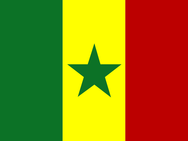
Senegal
Senegal lies on the Atlantic coast of West Africa, where the broad Senegal River valley meets the dry landscapes of the Sahel. Much of the country is low and gently rolling, with sandy plains, wetlands, and a long coastline that curves around the Cap-Vert Peninsula. In the south, Casamance is greener and crossed by wide river channels, while the Saloum Delta is shaped by mangroves, islands, and tidal waterways.
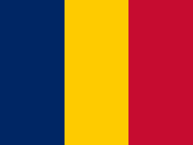
Chad
Chad lies in north-central Africa, with the Sahara covering much of the north and the greener savannas of the south. The Sahel forms a broad transition between them, while the Chari and Logone rivers flow towards Lake Chad in the west. The Tibesti Mountains rise from the northern desert, and the sandstone formations of the Ennedi Plateau shape the east.
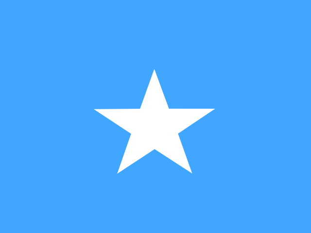
Somalia
Somalia occupies the eastern edge of the Horn of Africa, with a long coastline facing the Gulf of Aden and the Indian Ocean. Rugged highlands rise in the north, including the Cal Madow range, while plateaus and broad, dry plains cover much of the interior. The Jubba and Shabelle rivers cross the south, where the landscape becomes greener toward the coast.
Zimbabwe
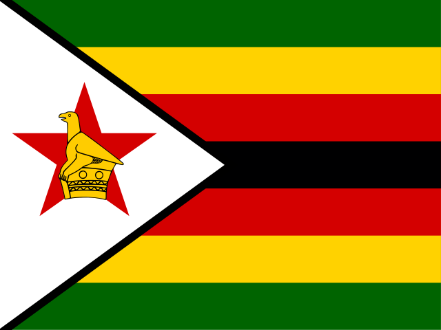
Zimbabwe is a landlocked country in Southern Africa, with much of its terrain spread across a broad central plateau. The Eastern Highlands rise along its eastern edge, while the Zambezi and Limpopo rivers shape the landscape to the north and south. Victoria Falls, the Lake Kariba reservoir, granite hills, and wide areas of savanna are among the country’s most recognisable geographical features.
Guinea
Guinea lies on the Atlantic coast of West Africa, where low coastal plains, estuaries, and mangrove wetlands rise towards the Fouta Djallon highlands. These highlands form the headwaters of several major rivers, including the Niger, Senegal, and Gambia. Farther southeast, the landscape becomes more mountainous and forested around Mount Nimba, the country's highest point.
Rwanda
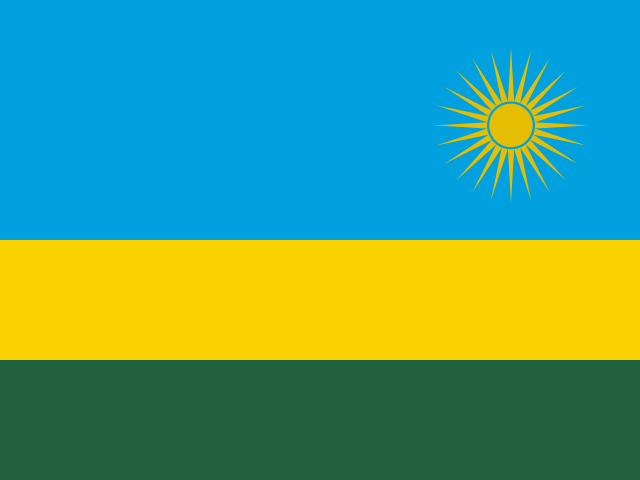
Rwanda lies in the Great Lakes region of East Africa, where steep hills and high plateaus shape much of the landscape. Lake Kivu stretches along the west, while the volcanic Virunga Mountains rise in the northwest and include some of the country’s highest peaks. Farther south and east, the forests of Nyungwe give way to the lakes, wetlands, and open savanna of Akagera.
Tunisia
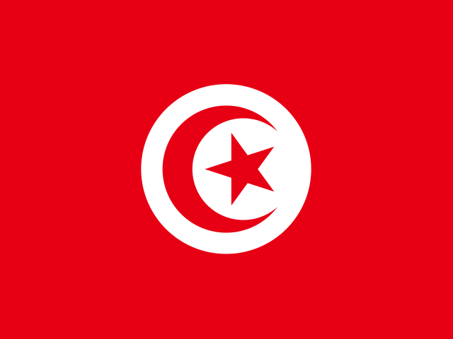
Tunisia lies in North Africa, where a long Mediterranean coastline gives way to hills, plains, and the Sahara. The Atlas Mountains reach into the north and west, while the eastern coast includes broad plains, lagoons, and the Gulf of Gabès. Farther south, salt lakes such as Chott el Jerid sit between rocky plateaus, oases, and the dunes of the Grand Erg Oriental.
Benin
Benin stretches inland from a short coast on the Gulf of Guinea, changing from sandy beaches and lagoons in the south to wooded savanna in the north. Lake Nokoué lies near the coast, while the Ouémé River runs south through much of the country. In the northwest, the Atakora Mountains and Pendjari National Park form a rugged landscape of hills, grasslands, and seasonal rivers.
Burundi
Burundi is a landlocked country in the Great Lakes region of East Africa, with a long shoreline on Lake Tanganyika. Much of its landscape is formed by rolling hills and high plateaus, while the Congo-Nile Divide runs through the west. The Ruvubu River crosses the centre and east, and a group of smaller lakes and wetlands lies in the northeast.
South Sudan
South Sudan is shaped by the White Nile, which flows north through broad plains and feeds the Sudd, one of the world’s largest wetlands. Seasonal floodplains, grasslands, and savannas cover much of the country, supporting large herds of antelope and other wildlife. In the southeast, the land rises into the Imatong Mountains, where Mount Kinyeti is the country’s highest point.

Togo
Togo is a narrow country in West Africa, stretching inland from a short coastline on the Gulf of Guinea. Near the coast, lagoons and wetlands surround Lake Togo, while the Togo Mountains cross the centre in a chain of forested hills. Farther north, the land opens into broad savannas and the plains of the Oti River.
Sierra Leone
Sierra Leone lies on the Atlantic coast of West Africa, where sandy shores and mangrove-lined estuaries meet low coastal plains. Around Freetown, the forested mountains of the Sierra Leone Peninsula rise sharply beside the sea. Farther inland, the land becomes a mix of rolling plains, wooded hills, and high ground, including the Loma Mountains and Mount Bintumani, the country’s highest point.
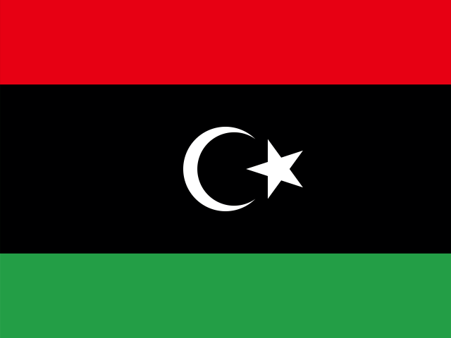
Libya
Libya lies in North Africa, with a long Mediterranean coast and a vast interior that forms part of the Sahara. Much of the landscape is made up of gravel plains, sand seas, rocky plateaus, and isolated oases, while the greener Jebel Akhdar rises near the northeast coast. Farther south, the Acacus Mountains are known for sandstone cliffs, arches, and deeply cut valleys.
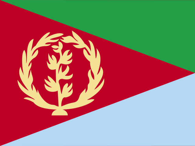
Eritrea
Eritrea lies in the Horn of Africa, with a long coastline along the Red Sea and the Dahlak Archipelago offshore. Its landscape rises from the hot coastal plain into the cooler central highlands, then descends towards broad western lowlands. Salt flats and volcanic terrain shape the southeast, while seasonal rivers and dry valleys cross much of the interior.
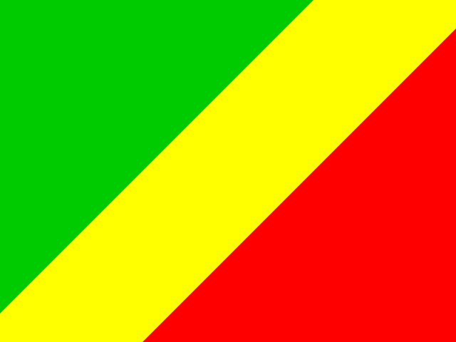
Republic of the Congo
The Republic of the Congo lies in Central Africa, with a short Atlantic coastline and the Congo River running along much of its eastern side. Tropical rainforest covers large areas in the north, forming part of the wider Congo Basin, while plateaus and wooded savannas spread across the centre and south. Near the coast, the land narrows into a low plain backed by the forested Mayombe hills.
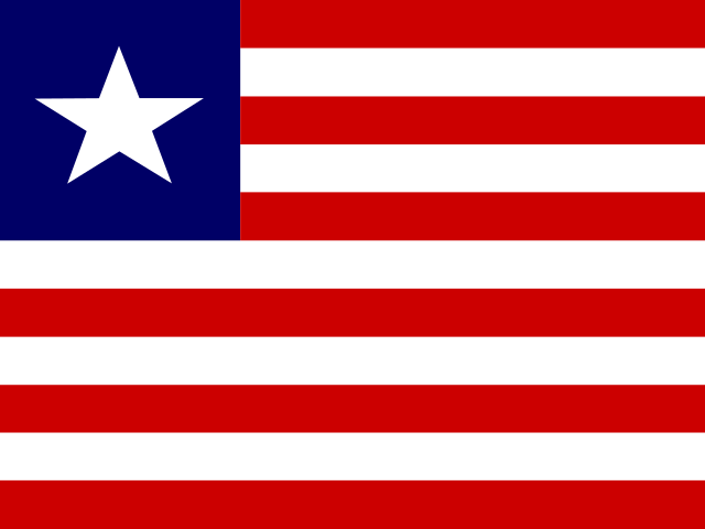
Liberia
Liberia lies on the Atlantic coast of West Africa, where sandy beaches, lagoons, and mangrove wetlands line much of the shore. Inland, the coastal plain gives way to rolling hills, forested plateaus, and higher ground in the north, including Mount Wuteve. Rivers such as the St Paul, St John, and Cestos flow through extensive tropical forests before reaching the sea.
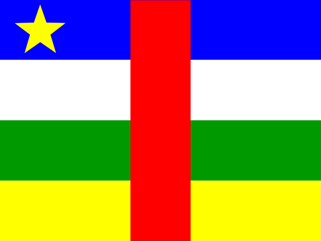
Central African Republic
The Central African Republic lies on a broad plateau in the heart of Africa, where open savannas in the north gradually give way to denser tropical forests in the south. Rivers including the Ubangi and Sangha cross its landscape, joined by many smaller waterways. In the southwest, the forests of Dzanga-Sangha contain clearings, wetlands, and a wide variety of wildlife.
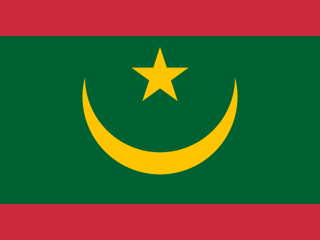
Mauritania
Mauritania lies between the Sahara and the Atlantic, with desert covering most of the country. In the north, the Adrar Plateau rises above sweeping dunes and contains the circular Richat Structure, a vast geological formation visible from space. Along the coast, the shallow waters, sandbanks, and islands of Banc d’Arguin contrast with the arid interior, while the Senegal River brings greener landscapes to the south.
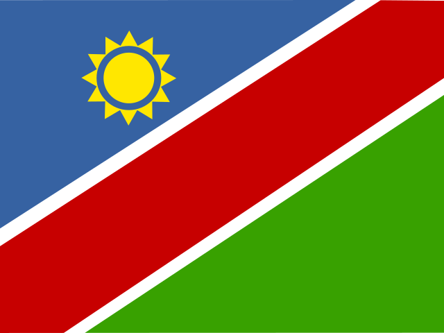
Namibia
Namibia lies in southwestern Africa, where the Namib Desert runs along the Atlantic coast and the Kalahari extends across much of the east. The country includes the high Central Plateau, the deep Fish River Canyon, and the vast salt pan of Etosha. Along the Skeleton Coast, dunes meet the ocean, while the north contains seasonal rivers, wetlands, and broad savanna landscapes.

Botswana
Botswana is a landlocked country in Southern Africa, with much of its terrain covered by the flat, sandy expanses of the Kalahari. In the north, the Okavango River spreads into the Okavango Delta, creating a network of channels, floodplains, and islands. The Makgadikgadi Pans form a broad salt-flat landscape in the northeast, while low hills and grasslands appear across other parts of the country.
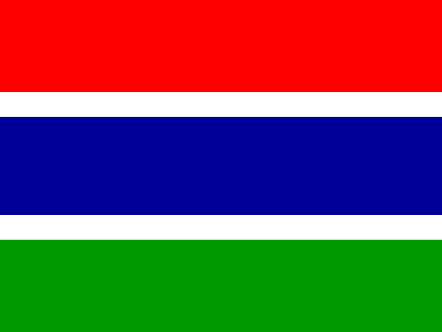
Gambia
The Gambia is a narrow country in West Africa, shaped by the Gambia River as it flows west towards the Atlantic Ocean. Much of the landscape is low and gently rolling, with open savanna, woodland, and farmland extending away from the river. Mangrove wetlands line parts of the waterways, while the coast has sandy beaches, lagoons, and the mouth of the river.
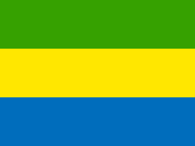
Gabon
Gabon lies on the Atlantic coast of Central Africa, with the Equator crossing the country. Tropical rainforest covers much of the interior, where the Ogooué River and its tributaries flow towards a coast of lagoons, mangroves, and sandy beaches. The landscape also includes the Crystal Mountains in the northwest, the Chaillu Massif farther south, and open savannas along parts of the coast.
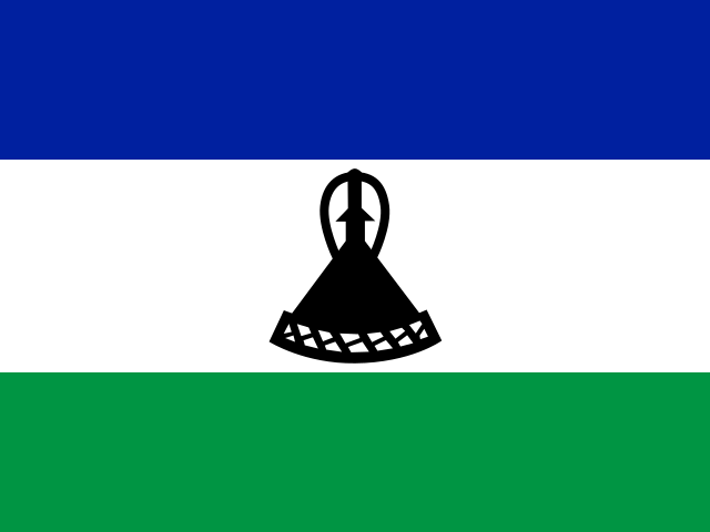
Lesotho
Lesotho is a high-altitude country in Southern Africa, with much of its landscape formed by the Maloti Mountains and broad upland valleys. The Drakensberg rises along the eastern edge, where Thabana Ntlenyana is the highest peak in southern Africa. Rivers including the Senqu cut through deep gorges and descend towards the lower western plains, while snow often covers the higher slopes in winter.
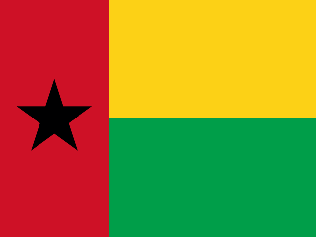
Guinea-Bissau
Guinea-Bissau lies on the Atlantic coast of West Africa, where broad river estuaries open into a low-lying coastal plain. Offshore, the Bijagós Archipelago forms a scattered group of islands, sandbanks, mangroves, and tidal channels. Farther inland, the landscape rises gently into woodland and savanna, crossed by the Geba and Corubal rivers and smaller waterways that expand during the rainy season.
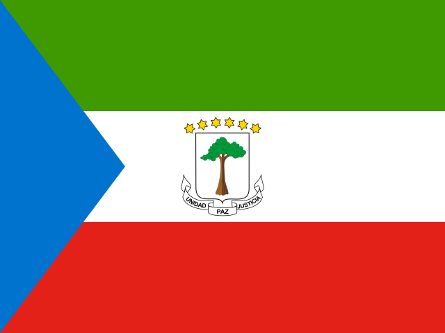
Equatorial Guinea
Equatorial Guinea includes a mainland region on the west coast of Central Africa and several islands in the Gulf of Guinea. Tropical forest covers much of the mainland, where rivers cross low hills and coastal plains. Bioko is a volcanic island dominated by Pico Basile, the country’s highest peak, while the smaller island of Annobón rises from the Atlantic farther southwest.
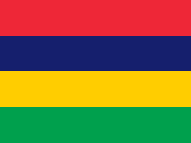
Mauritius
Mauritius lies in the Indian Ocean, east of Madagascar, with its main island forming part of the Mascarene Islands. Volcanic mountains rise above a broad central plateau, while rivers run towards a coast edged by lagoons and coral reefs. Forested uplands, waterfalls, and steep-sided peaks shape the interior, and Rodrigues and several smaller islands extend the country across a wider area of the ocean.
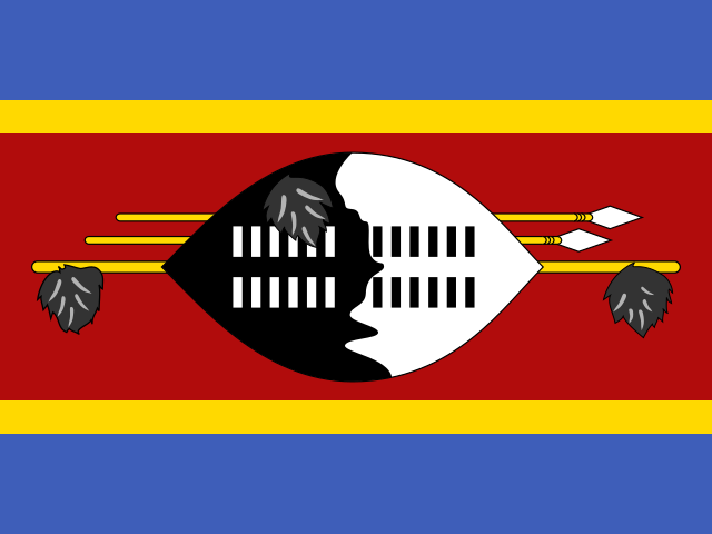
Eswatini
Eswatini is a landlocked country in Southern Africa, bordered by South Africa and Mozambique. Its landscape descends from the mountainous Highveld in the west through the rolling Middleveld to the warmer, flatter Lowveld in the east. The Lubombo Mountains rise along the eastern edge, while rivers including the Great Usutu cross the country through grasslands, wooded valleys, and areas of savanna.
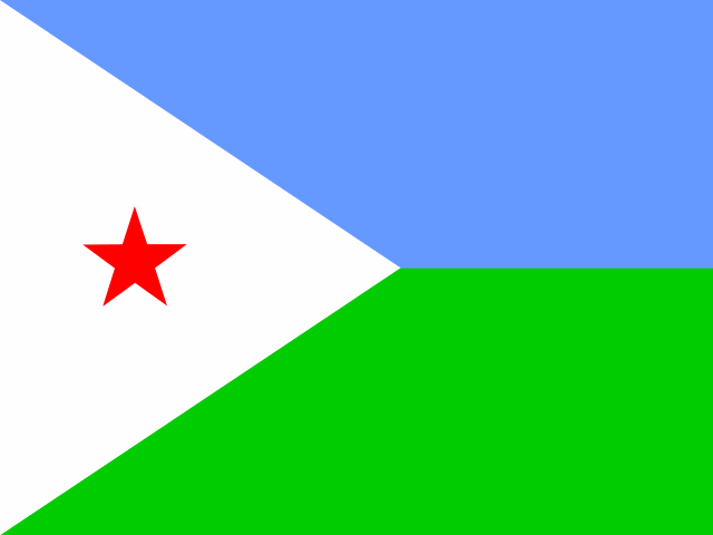
Djibouti
Djibouti lies in the Horn of Africa, where the Gulf of Tadjoura reaches inland from the Gulf of Aden. Its dry landscape includes volcanic plateaus, mountain ranges and salt flats, with Lake Assal set in a deep depression below sea level. Along the coast, rocky shores and sheltered bays give way to coral reefs and waters rich in marine life.
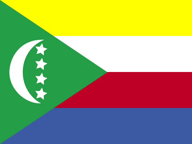
Comoros
Comoros lies in the Indian Ocean at the northern entrance to the Mozambique Channel, between Madagascar and the African mainland. Its three main islands are volcanic, with steep interiors, narrow coastal plains, and Mount Karthala rising above Grande Comore. Forested slopes, rocky headlands, beaches, and coral reefs create varied landscapes across the archipelago, while short streams run from the high ground towards the coast.

Reunion
Réunion is a mountainous volcanic island in the western Indian Ocean, east of Madagascar. Piton des Neiges rises at its centre, surrounded by the deep cirques of Mafate, Cilaos, and Salazie, while the active Piton de la Fournaise shapes the southeast. Steep ravines cut through the interior towards narrow coastal plains, with forests covering many of the higher slopes.
Cabo Verde
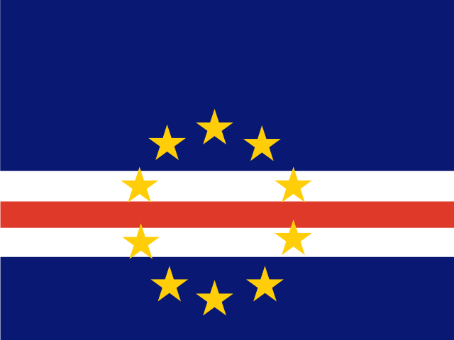
Cabo Verde is a chain of ten volcanic islands in the Atlantic Ocean, several hundred kilometres west of Senegal. The northern islands include steep ridges and broad volcanic slopes, while the southern group contains Fogo, whose cone rises to Pico do Fogo, the highest point in the archipelago. Rocky shores, dark lava fields, sandy beaches, and deep valleys give the islands a varied landscape despite their compact size.
Mayotte
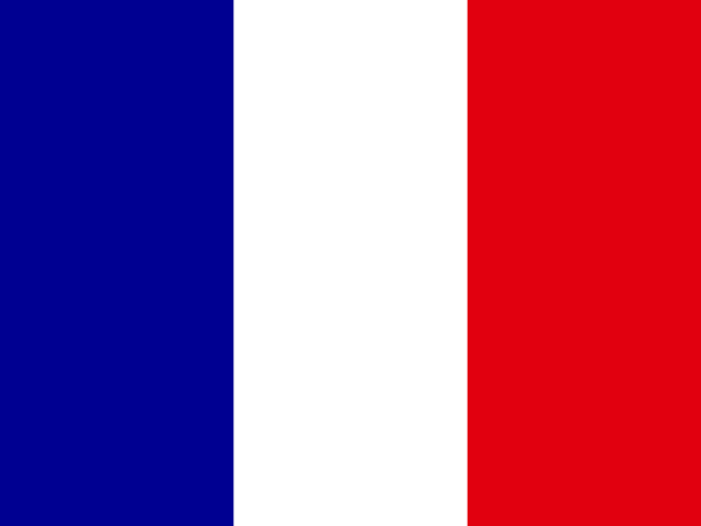
Mayotte lies in the Mozambique Channel in the western Indian Ocean and is formed by two main volcanic islands, Grande-Terre and Petite-Terre, along with smaller islets. A broad lagoon, enclosed by an extensive barrier reef, surrounds much of the archipelago. Grande-Terre has steep hills and deeply cut valleys, while Petite-Terre includes the circular crater lake of Dziani Dzaha.
Western Sahara
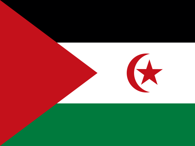
Western Sahara lies on the Atlantic edge of the Sahara, where a long, mostly straight coastline meets a broad desert interior. Much of the land consists of rocky plains, dry plateaus, and seasonal riverbeds, while sand dunes are concentrated in parts of the north and east. The Saguia el-Hamra valley crosses the north, while the Dakhla peninsula encloses a long, sheltered bay on the Atlantic coast.
Sao Tome and Principe
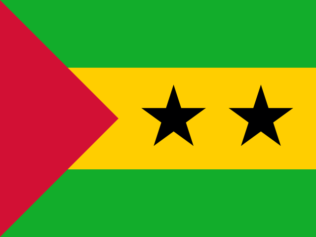
São Tomé and Príncipe lies in the Gulf of Guinea near the equator, with two main volcanic islands and several smaller islets. Steep, forested mountains rise from the coast, including Pico de São Tomé, the highest point in the archipelago. Deep valleys, rocky headlands, sheltered bays, and striking volcanic formations such as Pico Cão Grande give the islands a varied landscape within a compact area.
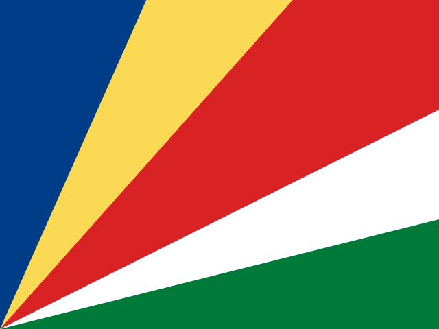
Seychelles
Seychelles lies in the western Indian Ocean and consists of 115 islands spread across a wide area north-east of Madagascar. The inner islands, including Mahé, Praslin and La Digue, are formed from ancient granite, with steep green interiors and narrow coastal plains. Farther out, low coral islands and atolls rise only slightly above the sea, surrounded by reefs, lagoons and shallow banks.
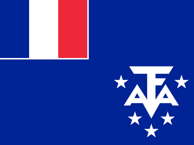
French Southern Territories
The French Southern Territories are scattered across the southern Indian Ocean and Antarctic region, from the Crozet and Kerguelen archipelagos to Saint Paul, Amsterdam, the Scattered Islands, and Adélie Land. Volcanic peaks, steep cliffs, fjords, and windswept plateaus shape the subantarctic islands. Farther north, coral reefs ring low tropical islands near Madagascar, while Adélie Land meets the Southern Ocean in a coast of rock, ice, and glaciers.
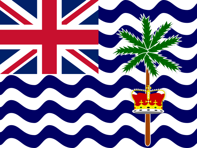
British Indian Ocean Territory
The British Indian Ocean Territory lies in the central Indian Ocean and consists of the Chagos Archipelago, a scattered group of low-lying coral islands. Its many islands are arranged around atolls and lagoons, with Diego Garcia forming the largest landmass. Coral reefs, shallow banks, seagrass beds, and deep ocean waters create a varied marine environment inhabited by seabirds, sea turtles, and tropical fish.
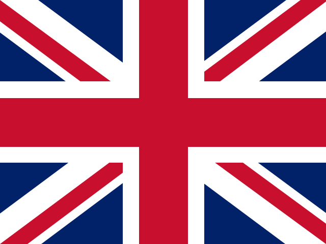
Saint Helena
Saint Helena is a remote volcanic island in the South Atlantic, with steep cliffs rising sharply from the sea. A central ridge forms its highest ground, including Diana’s Peak, while deep valleys cut through the island toward the coast. The lower slopes are dry and open, contrasting with the greener uplands and cloud forest around the central peaks.


