North America

us

United States

The United States stretches across North America from the Atlantic to the Pacific, with Alaska in the far northwest and Hawaii in the central Pacific. The Rocky Mountains cross the west, the Great Plains cover much of the centre, and the Mississippi River system runs through the interior. Its landscapes range from the Great Lakes and the deserts of the southwest to Alaska’s Arctic tundra and Hawaii’s volcanic islands.
ca

Canada

Canada stretches across northern North America from the Atlantic to the Pacific and reaches north into the Arctic Archipelago. The Canadian Rockies rise in the west, while vast boreal forests, prairies, and lakes cover much of the interior. Its landscapes include the Great Lakes and St. Lawrence River in the southeast, the shores of Hudson Bay, the rugged coasts of Newfoundland and Labrador, and tundra across the far north.

mx

Mexico

Mexico stretches across southern North America, between the Pacific Ocean, Gulf of Mexico, and Caribbean Sea, with the Baja California Peninsula extending along its northwest coast. The Sierra Madre ranges frame a high central plateau, while a volcanic belt crosses the country from west to east. Its landscapes include the Sonoran and Chihuahuan deserts, tropical forests in the south, and the limestone plains and cenotes of the Yucatán Peninsula.

cu

Cuba

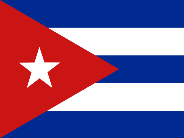
Cuba lies where the Caribbean Sea meets the Gulf of Mexico and the Atlantic Ocean, and is the largest island in the Caribbean. The archipelago also includes the Isle of Youth and many smaller islands and cays. Its landscape ranges from the Sierra Maestra mountains in the east and broad central plains to limestone hills, the Zapata wetlands, and long stretches of coastline.

ht

Haiti

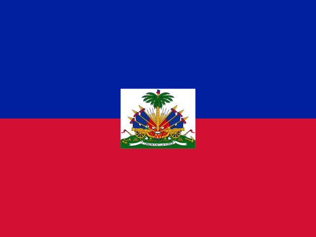
Haiti occupies the western third of Hispaniola in the Caribbean and includes several smaller islands, among them Gonâve and Tortuga. Mountain ranges cover much of the country, broken up by narrow coastal plains and the Artibonite Valley. Its landscape also includes Lake Azuéi, the Artibonite River, and a deeply indented coastline around the Gulf of Gonâve.

do

Dominican Republic

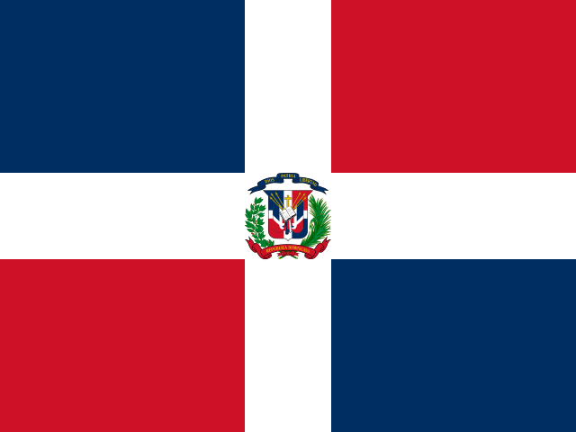
The Dominican Republic occupies the eastern part of Hispaniola, between the Atlantic Ocean and Caribbean Sea. The Cordillera Central crosses its interior and includes Pico Duarte, the highest mountain in the Caribbean, while the broad Cibao Valley lies to the north. Its landscapes also include long beaches, tropical forests, dry southwestern valleys, and Lake Enriquillo below sea level.

hn

Honduras

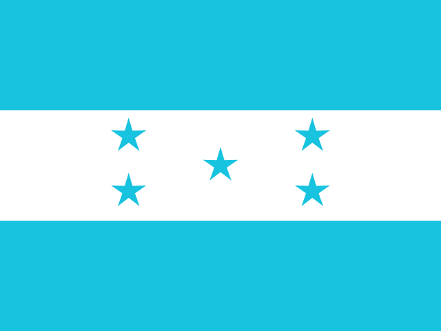
Honduras lies in Central America, with a long Caribbean coast to the north and a shorter Pacific shore along the Gulf of Fonseca. Mountain ranges cover much of the interior, separated by valleys and lowlands where rivers flow towards both coasts. In the northeast, the forests and wetlands of La Mosquitia stretch towards the Caribbean, while the Bay Islands sit beside the Mesoamerican Barrier Reef.

ni

Nicaragua

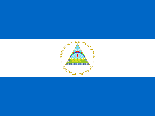
Nicaragua lies between the Pacific Ocean and the Caribbean Sea, with a chain of volcanoes and large freshwater lakes shaping its western landscape. Lake Nicaragua, the largest lake in Central America, contains hundreds of islands, while nearby Lake Managua is surrounded by volcanic peaks. Farther east, the land gives way to broad lowlands crossed by rivers and covered in tropical forest.

sv

El Salvador

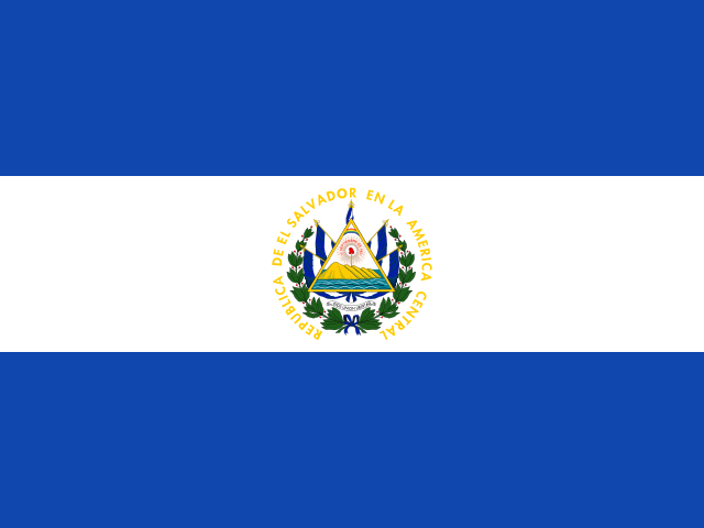
El Salvador lies on the Pacific coast of Central America, between Guatemala and Honduras. A chain of volcanoes runs across the country, rising above a central plateau and valleys shaped by rivers including the Lempa. Alongside its dark-sand beaches, the landscape includes forested highlands and crater lakes such as Lake Coatepeque and Lake Ilopango.

cr

Costa Rica

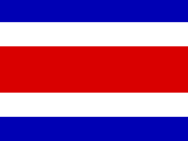
Costa Rica lies in Central America between the Caribbean Sea and the Pacific Ocean, with coastlines on both sides of the country. A chain of volcanic mountains runs through its centre, including Poás and Irazú, while broad lowlands extend towards the coasts. Its landscapes include tropical rainforests, high-altitude cloud forests, mangroves, beaches, and the rugged Nicoya and Osa peninsulas.

pa

Panama

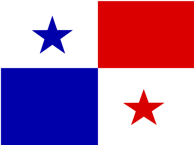
Panama forms a narrow land bridge between North and South America, with the Caribbean Sea to the north and the Pacific Ocean to the south. A chain of forested mountains runs through the country, rising highest at Volcán Barú in the west. Tropical rainforests cover much of its interior, while mangroves, coral reefs, and island groups shape both coasts.

pr

Puerto Rico

Puerto Rico lies in the northeastern Caribbean, with the Atlantic Ocean to the north and the Caribbean Sea to the south. The Cordillera Central crosses its mountainous interior, while coastal plains, limestone hills, and sandy beaches shape the land around it. El Yunque’s rainforest, the caves of the northern karst region, and the smaller islands of Vieques and Culebra add to its varied geography.

jm

Jamaica

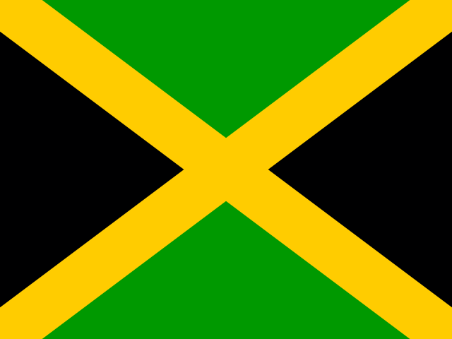
Jamaica is an island in the Caribbean Sea, lying south of Cuba and west of Hispaniola. A mountainous interior rises to the Blue Mountains in the east, while the limestone hills and valleys of Cockpit Country cover much of the northwest. Narrow coastal plains, short rivers, waterfalls, and coral-fringed bays shape the landscape around the island.

gt

Guatemala

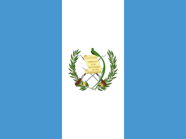
Guatemala lies in Central America, with coastlines on the Pacific Ocean and the Caribbean Sea. A chain of volcanic highlands crosses the south and centre, where Lake Atitlán sits among steep mountains and volcanoes. Farther north, the landscape opens into the lowlands of Petén, a region of tropical forest, wetlands, and limestone terrain.

tt

Trinidad and Tobago

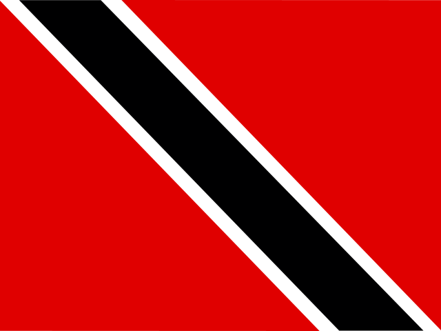
Trinidad and Tobago lies in the southern Caribbean, just off the northeastern coast of Venezuela. Trinidad, the larger island, includes the Northern Range, broad plains, and mangrove wetlands, while smaller Tobago is crossed by the forested Main Ridge. Its coastline combines sheltered bays, sandy beaches, and coral reefs, with Buccoo Reef off Tobago’s southwest shore and the Caroni Swamp on Trinidad’s western side.

gp

Guadeloupe

Guadeloupe is an archipelago in the Lesser Antilles, where the Caribbean Sea meets the Atlantic Ocean. Its two main islands have contrasting landscapes: Basse-Terre is mountainous and volcanic, with rainforest and La Grande Soufrière, while Grande-Terre is lower and formed mainly from limestone. Marie-Galante, La Désirade, and the small islands of Les Saintes complete the group.

mq

Martinique

Martinique is a mountainous Caribbean island, with the Caribbean Sea to the west and the Atlantic Ocean to the east. Mount Pelée rises in the north above steep volcanic slopes and dense forests, while the Pitons du Carbet form a cluster of peaks farther south. In the southern part of the island, the land becomes lower and drier, with sheltered bays, sandy beaches, and the wide inlet of Fort-de-France Bay.

bs

Bahamas

The Bahamas is an archipelago in the Atlantic Ocean, southeast of Florida and north of Cuba, made up of hundreds of low-lying islands and cays. Much of the country rests on broad, shallow limestone banks, giving the surrounding water its distinctive shifts from pale turquoise to deep blue. Andros, the largest island, is known for its blue holes, tidal creeks, pine forests, and extensive barrier reef.

bz

Belize

Belize lies on the Caribbean coast of Central America, with low coastal plains rising towards forested hills in the south and west. Offshore, the Belize Barrier Reef runs along much of the coast, surrounded by coral islands, lagoons, and the Great Blue Hole. Inland, rivers cross broad tropical forests, while the Maya Mountains form the country’s most rugged terrain.

bb

Barbados

Barbados lies in the Atlantic Ocean at the eastern edge of the Caribbean, with a gently rolling interior and a coastline shaped by beaches, coral reefs, and rocky cliffs. Much of the island is formed from coral limestone, while Mount Hillaby marks its highest point. The northeast is more rugged, especially around the Scotland District, where steep hills descend towards the Atlantic.

lc

Saint Lucia

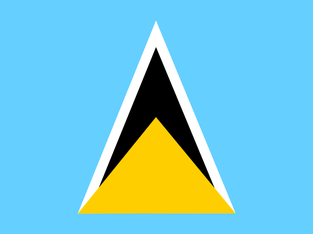
Saint Lucia is a volcanic island in the eastern Caribbean, with a mountainous interior covered by tropical forest. The Pitons rise steeply beside the sea on the southwest coast, while valleys, rivers, and waterfalls cut through the surrounding landscape. Sandy bays line parts of the coast, while coral reefs and seagrass beds occur in the waters around the island.

cw

Curacao

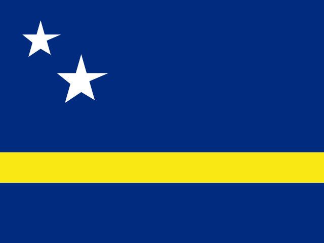
Curaçao lies in the southern Caribbean Sea, just off the coast of Venezuela. Its landscape is mostly dry and gently rolling, with limestone terraces, salt flats, and a rugged northern coast shaped by waves, while the southern shore has sheltered bays. Christoffelberg rises in the northwest as the island’s highest point, and coral reefs surround much of the coastline.

gd

Grenada

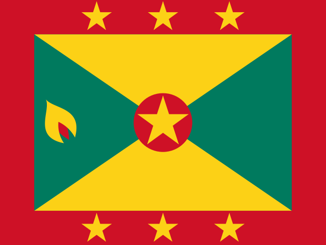
Grenada lies in the southern Caribbean and consists of the main island of Grenada, Carriacou, Petite Martinique, and several smaller islands. Its volcanic interior rises to Mount Saint Catherine and contains forests, crater lakes, rivers, and waterfalls. Along the coast, steep headlands and sheltered bays give way to beaches and mangroves, while coral reefs and small islets lie just offshore.
vc

Saint Vincent and the Grenadines

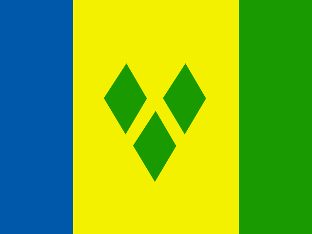
Saint Vincent and the Grenadines lies in the eastern Caribbean, with the volcanic island of Saint Vincent to the north and a chain of smaller Grenadine islands extending south. La Soufrière rises at the northern end of Saint Vincent, while steep forested ridges run through much of the island. Farther south, the Grenadines include small islands, sheltered bays, coral reefs, and the clear lagoons of the Tobago Cays.

aw

Aruba

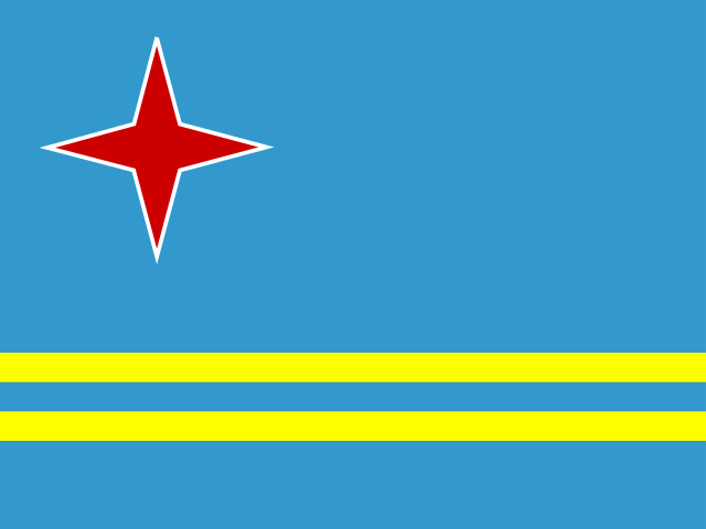
Aruba is a small island in the southern Caribbean Sea, with a dry landscape shaped by low hills, cactus-covered plains, and a rugged northern coast. Mount Jamanota rises near the centre of the island, while limestone formations and large boulders shape parts of the interior. White-sand beaches and coral reefs are found mainly along the calmer western and southern coasts.

vi

U.S. Virgin Islands

The U.S. Virgin Islands form a small Caribbean archipelago east of Puerto Rico, centred on Saint Croix, Saint Thomas, and Saint John. Steep hills and sheltered bays shape Saint Thomas and Saint John, while Saint Croix has broader lowlands and a more varied coastline. Coral reefs, mangrove-fringed inlets, and narrow channels surround the islands, with Crown Mountain rising as their highest point.

ag

Antigua and Barbuda

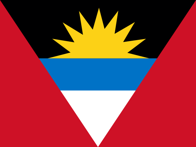
Antigua and Barbuda consists of two main islands and several smaller islands in the eastern Caribbean. Antigua has low hills and an indented coastline with many bays and natural harbours, while Barbuda is flatter and bordered by a large lagoon, coral reefs, and long beaches. The islands also contain dry woodland, salt ponds, and coastal wetlands.

dm

Dominica

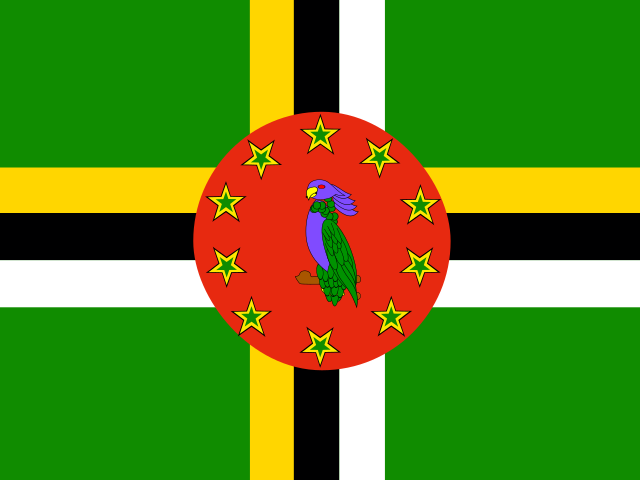
Dominica is a mountainous island in the eastern Caribbean, lying between Guadeloupe and Martinique. Volcanic peaks rise above dense rainforest, with Morne Diablotins forming the island’s highest point and rivers and waterfalls running through its steep interior. Geothermal activity appears in hot springs, steam vents, and Boiling Lake, while the coast shifts between rocky headlands, sheltered bays, and narrow stretches of beach.

bm

Bermuda

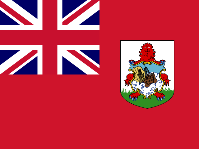
Bermuda is an archipelago in the North Atlantic, made up of low-lying islands linked by bridges and narrow waterways. Its landscape is formed mainly from limestone over an ancient volcanic base, with gentle hills, sheltered bays, and caves beneath the surface. Coral reefs surround much of the coast, where rocky headlands alternate with beaches known for their pale pink sand.

ky

Cayman Islands

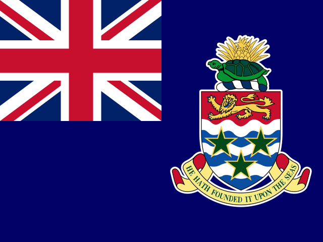
The Cayman Islands are three low-lying limestone islands in the western Caribbean: Grand Cayman, Cayman Brac, and Little Cayman. Grand Cayman is the largest, with the shallow, reef-protected North Sound and broad mangrove wetlands, while Cayman Brac rises to the limestone cliffs of the Bluff. Coral reefs fringe much of the coastline, and the deep Cayman Trench runs just south of the islands.
gl

Greenland

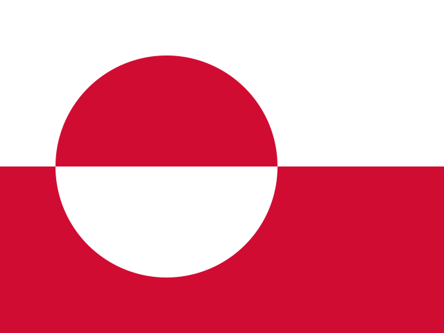
Greenland lies between the Arctic and Atlantic oceans, and most of the island is covered by a vast ice sheet. Its coastline is cut by long fjords, where glaciers descend between steep mountains and rocky shores. Beyond the ice, the landscape includes Arctic tundra, broad valleys, and the high peaks of the east, while the far north is bordered by the frozen waters of the Arctic Ocean.

kn

Saint Kitts and Nevis

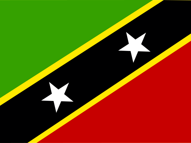
Saint Kitts and Nevis is a two-island country in the eastern Caribbean, with the narrow channel known as The Narrows separating its main islands. Both islands are volcanic, rising from coastal plains to forested peaks, including Mount Liamuiga on Saint Kitts and Nevis Peak on Nevis. Their coastlines include sheltered bays, rocky headlands, and beaches of pale and dark sand.
sx

Sint Maarten

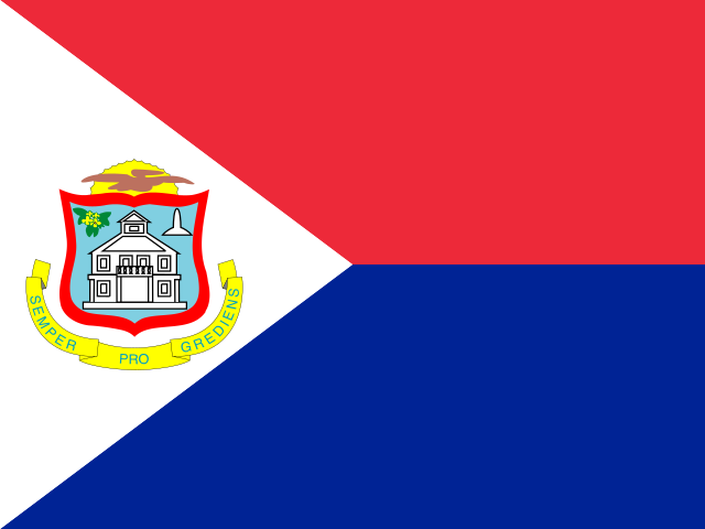
Sint Maarten lies in the northeastern Caribbean, where low coastal plains rise into rounded hills around Simpson Bay and Great Salt Pond. The western shoreline curves around Simpson Bay Lagoon, while beaches, rocky headlands, and shallow bays shape much of the coast. The landscape is generally dry, with scrub and low woodland adapted to steady trade winds and seasonal rainfall.

mf

Saint Martin

Saint Martin lies in the northeastern Caribbean, where low hills rise between sheltered bays and stretches of pale sand. Pic Paradis is the highest point, and short valleys descend towards mangroves, salt ponds, and the island’s indented coast. The large Simpson Bay Lagoon shapes the southwest, while the Atlantic-facing shoreline is more exposed to wind and waves than the calmer Caribbean side.

tc

Turks and Caicos Islands

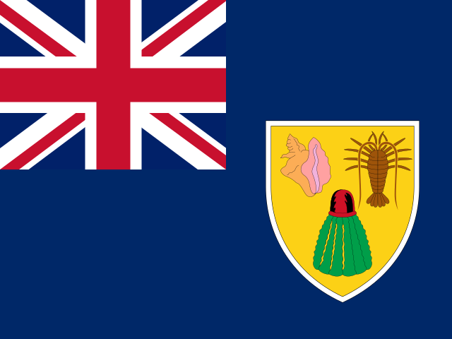
The Turks and Caicos Islands form two groups of low limestone islands and cays in the Atlantic, southeast of the Bahamas. The Turks Islands rise from the smaller Turks Bank, while the Caicos Islands spread across the broad, shallow Caicos Bank. White-sand shores, coral reefs, mangrove channels, salt ponds, and dry coastal scrub shape a landscape where land and shallow water often meet.

vg

British Virgin Islands

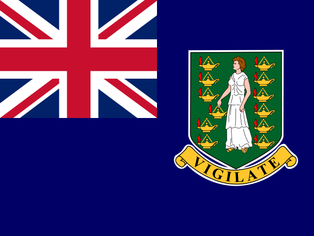
The British Virgin Islands form a group of Caribbean islands east of Puerto Rico, scattered across the northern Leeward Islands. Tortola, Virgin Gorda, Jost Van Dyke and most of the smaller islands have steep, rocky interiors, while low-lying Anegada is built from coral and limestone. Narrow channels separate the islands, and their shores include sheltered bays, sandy beaches, mangroves and surrounding coral reefs.
bq

Bonaire, Saint Eustatius and Saba

Bonaire lies in the southern Caribbean, where an arid landscape and salt flats stretch behind a low, rocky coast ringed by coral reefs. Far to the northeast, Saint Eustatius is shaped by the forested cone and crater of The Quill, with older volcanic hills at its northern end. Nearby Saba rises steeply from the sea around Mount Scenery, with deep ravines, narrow valleys and little level ground.
ai

Anguilla

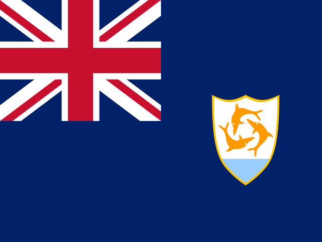
Anguilla is a long, narrow limestone island in the eastern Caribbean, with mostly flat terrain and Crocus Hill as its highest point. Its coastline is broken by shallow bays, white-sand beaches, rocky headlands, and offshore coral reefs. Salt ponds lie behind several stretches of coast, while small nearby cays, including Scrub Island and Dog Island, extend its landscape into the surrounding sea.

ms

Montserrat

Montserrat is a small, mountainous island in the Lesser Antilles, rising from the eastern Caribbean Sea. The Soufrière Hills shape its volcanic south, while the forested Centre Hills and Silver Hills rise farther north, cut by steep valleys and narrow ravines. Its rugged coastline combines rocky headlands, narrow black-sand beaches, and sheltered bays, with coral reefs lying close to parts of the shore.

bl

Saint Barthelemy

Saint Barthélemy is a small, hilly island in the northeastern Caribbean, surrounded by a chain of rocky islets. Its dry volcanic landscape rises from narrow coastal plains to Morne de Vitet, the island’s highest point. Sheltered bays, sandy beaches, rocky headlands, and coral reefs shape the coast, while low scrub and salt-tolerant plants cover much of the interior.

pm

Saint Pierre and Miquelon

Saint Pierre and Miquelon is a small North Atlantic archipelago just south of Newfoundland. Its main islands, Saint-Pierre and Miquelon-Langlade, have rocky shores, low hills, peatlands, ponds, and sheltered bays shaped by the surrounding sea. On Miquelon-Langlade, a long sandy isthmus connects the once-separate islands of Miquelon and Langlade, beside the broad Grand Barachois lagoon.

Airpult

Get accurate weather forecasts worldwide with real-time updates and severe weather alerts. Covering 6M+ locations with precise, reliable weather data.

© 2026 Samuenti GmbH. All rights reserved.

gb English
Metric (°C, km/h)