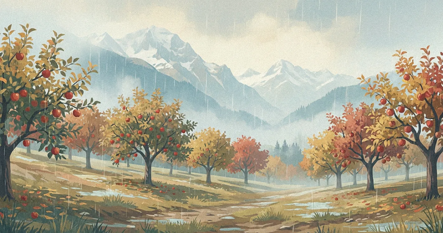
Rain, snow, ice pellets, freezing rain, hail, and graupel all begin in clouds, but not everything seen below a cloud reaches the ground. Falling drops or ice that evaporate or sublimate before arrival form virga. A surface observation or gauge records only the precipitation that reaches the observing point.
How precipitation forms
Cloud droplets and ice crystals are usually too small to fall through the air as precipitation. They must grow first.
In a warm cloud, larger droplets collide with smaller ones and merge. This collision-coalescence process can produce raindrops. In a cloud containing ice and supercooled liquid water, water vapour deposits onto ice crystals. Crystals may then join through aggregation to form snowflakes. When supercooled droplets freeze onto a crystal, riming can turn it into graupel or help a hailstone grow.
What reaches the surface depends on the particle’s entire path through the atmosphere. A layer may melt snow, another may refreeze the meltwater, and dry air may evaporate or sublimate the particle. Surface temperature alone cannot determine the precipitation type.
Main types of precipitation
Rain and drizzle
Rain consists of liquid drops that reach the surface. It may form through collision-coalescence in a warm cloud or begin as ice and snow that melt while falling. The whole atmosphere above the observer does not have to be above freezing.
Drizzle is a fairly uniform fall of very small, closely spaced droplets, generally less than 0.5 millimetre across. It usually comes from low stratus cloud.
Snow
Snow is made of individual ice crystals or crystals joined into flakes. Crystals grow by vapour deposition and may aggregate as they fall. Snow can sometimes reach a surface that is slightly above freezing if the near-surface layer is shallow, dry, or not warm enough to melt the flakes completely. Forecasters therefore examine the full temperature and moisture profile, not just the temperature at ground level.
Rain and snow mixed
A mix occurs when some flakes melt while others survive to the surface. In American usage, this is usually called a rain-snow mix or wintry mix. The word sleet means ice pellets in the United States, although it can mean a rain-snow mix in some other countries.
Ice pellets
Ice pellets often begin as snow that melts, or partly melts, in a warm layer and then refreezes in a sufficiently deep layer of subfreezing air below. The hard, usually transparent pellets bounce when they hit a hard surface. In the United States, they are called sleet.
Freezing rain
Freezing rain forms when snow melts into rain aloft and the drops pass through only a shallow subfreezing layer near the surface. The drops become supercooled and freeze when they strike many exposed surfaces, producing glaze ice. Even a small accumulation can make roads and walkways dangerous and can add weight to trees and power lines. Follow local warnings and travel advice rather than judging the risk from air temperature alone.
Graupel
Graupel forms when supercooled cloud droplets freeze onto a snow crystal through riming. The result is an opaque, rounded or conical pellet that is softer and more easily crushed than hail. It is often called a snow pellet.
Hail
Hail grows inside strong thunderstorms when an updraft supports an ice embryo in a region containing supercooled water. Droplets collide with the particle and freeze onto it. Its route through the storm can be irregular, and hail does not need to make repeated elevator-like trips up and down. It falls when the updraft can no longer support it or when it moves out of the strongest rising air.
The WMO International Cloud Atlas describes hailstones as ice particles generally 5 millimetres or larger. Smaller soft, opaque pellets are graupel; small hard or partly translucent particles may be placed in a separate small-hail category. During hail, move indoors and stay away from windows. Hail occurs with thunderstorms, so lightning safety still applies.
Amount, rate, and snow measurements
For rain and the melted equivalent of frozen precipitation, an amount is the depth that would cover a flat, impermeable surface over a stated period. One millimetre corresponds to one litre of water per square metre. A gauge measures what reaches and enters the instrument, so wind, siting, and poor catch of snow can affect the result.
A rate is an amount per unit time, such as millimetres per hour. Amount and rate are not interchangeable. The same total spread across a long period has a lower average rate than a short burst. Labels such as light or heavy also depend on the observing system and precipitation type, so a single set of universal rate thresholds is misleading.
For snow, forecasts and observations may report three different quantities:
- New snowfall depth: the depth of snow that accumulated during the measurement period.
- Snow depth: the total depth already on the ground, including older, settled snow.
- Snow water equivalent or liquid equivalent: the depth of water contained in the snow, measured after melting or by an equivalent instrument.
There is no reliable universal conversion between liquid equivalent and new snowfall depth. Crystal type, riming, wind, temperature, settling, and melting all change the snow-to-liquid ratio, sometimes during the same storm. The familiar 10-to-1 conversion is only a rough rule of thumb and should not replace a snowfall forecast or measurement.
How to read a precipitation forecast
Check four details together:
- Period: the hour, day, or other interval covered by the value.
- Probability: the chance that the provider’s defined precipitation event occurs at the forecast location during that period.
- Amount or rate: the expected accumulation for the period or the expected amount per unit time.
- Type: rain, snow, mixed precipitation, ice pellets, freezing rain, or another category.
For the U.S. National Weather Service, probability of precipitation means the chance that measurable precipitation reaches a point during the stated period. Its measurable threshold is 0.01 inch of liquid water or the liquid equivalent of frozen precipitation. A 40% probability does not mean rain for 40% of the period or necessarily over 40% of the area. Other forecast providers can use different thresholds, periods, or spatial definitions, so read the label for the product you are using.
Probability does not say how much will fall. Amount does not by itself describe the rate. Flooding and travel impacts depend on duration, drainage, terrain, soil moisture, snowmelt, precipitation type, and local warning criteria. Use official watches and warnings for decisions when hazardous weather is possible.
Precipitation in Airpult
On Airpult’s weather map, the hourly forecast shows a precipitation percentage beneath a time step when the probability is above zero. Read that percentage for the displayed hour. The daily rows summarise the expected condition and temperatures but do not currently show a separate precipitation amount or probability. Because the on-page percentage does not define its measurable threshold, treat it as the forecast provider’s probability for that time step, not as an amount or duration.
For more about how forecast data becomes a local prediction, read How Weather Forecasts Work.